
Uncertainty Propagation in Spatial Environmental Modelling
You are here

Uncertainty Propagation in Spatial Environmental Modelling
Monday 5 - Friday 9 December 2022
Scope
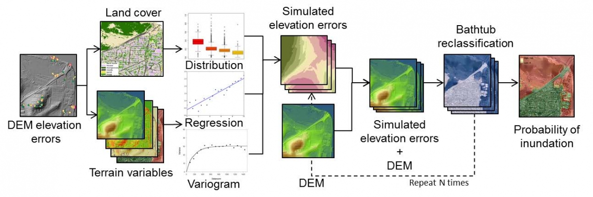 Input data for spatial environmental models may have been measured in the field or laboratory, derived from remotely sensed imagery or obtained from expert elicitation. Data are also often digitized, interpolated, classified or generalized prior to submission to a model. In all these cases errors are introduced. Although users may be aware that errors propagate through their models, they rarely pay attention to this problem. However, the accuracy of the data may be insufficient for the intended use, causing inaccurate model results, wrong conclusions and poor decisions. The purpose of this course is to familiarize participants with statistical methods to analyse uncertainty propagation in spatial modelling, such that they can apply these methods to their own models and data. Attention is also given to the effects of spatial auto- and cross-correlations on the results of an uncertainty propagation analysis and on methods to determine the contribution of individual sources of uncertainty to the accuracy of the final result. Quantification of model parameter uncertainty is covered using Bayesian calibration techniques. The methodology is illustrated with real-world examples. Computer practicals make use of the R language for statistical computing.
Differences between this course and the “Statistical Uncertainty Analysis of Dynamic Models” (SUADM) course are:
- this course focuses on uncertainty propagation in spatial models, while SUADM concentrates on uncertainty analysis of dynamic models;
- this course uses basic to intermediate statistical approaches and graphical tools to analyse uncertainty and uncertainty propagation, while SUADM uses more advanced statistical approaches;
- this course dedicates one full day to the use of geostatistics for quantification of spatial uncertainty, while SUADM draws specific attention to stochastic sensitivity analysis.
Programme
The last 45 minutes of each afternoon (except Friday) are reserved to either continue the scheduled computer practical or apply the methods learnt to your own models and data.
- Day 1, morning: Course overview; lectures and exercises probabilistic modelling of uncertainty; lecture and exercises Taylor series method.
- Day 1, morning: Course overview; lectures and exercises probabilistic modelling of uncertainty; lecture and exercises Taylor series method.
- Day 1, afternoon: Computer practical Taylor series method.
- Day 2, morning: Lecture and exercises Monte Carlo method and quantification of uncertainty source contributions.
- Day 2, afternoon: Computer practical Monte Carlo method and analysis of uncertainty source contributions.
- Day 2, evening: Group dinner in Wageningen town.
- Day 3, morning: Lecture and exercises geostatistics for spatial uncertainty quantification.
- Day 3, afternoon: Computer practical geostatistics.
- Day 4, morning: Lecture and exercises Bayesian calibration for quantification of model structural and model parameter uncertainty.
- Day 4, afternoon: Computer practical Bayesian calibration. Day 5, morning: Lecture, exercises and computer practical statistical validation.
- Day 5, afternoon: Guest lecture; course evaluation; uncertainty game; drinks and snacks.
General information
| Target Group | TThe course is aimed at PhD candidates and other academics working with spatial models who want to know how errors in model inputs and parameters propagate to model outputs. |
| Group Size | Min. 20, max. 25 participants |
| Course duration | 5 days |
| Language of instruction | English |
| Frequency of recurrence | Once every two years |
| Number of credits | 1.5 ECTS |
| Lecturers | This course is taught by Prof.dr.ir. Gerard Heuvelink (Soil Geography and Landscape group, Wageningen University) and dr.ir. Sytze de Bruin (Laboratory of Geo-information Science and Remote Sensing, Wageningen University). |
| Prior knowledge | Intermediate knowledge of statistics, geo-information science and spatial modelling. Familiarity with the R programming language is highly recommended but not required. |
| Location | Wageningen Campus |
| Accommodation | Accommodation is not included in the fee of the course, but there are several possibilities in Wageningen. For information on B&B's and hotels in Wageningen please visit proefwageningen.nl. Another option is Short Stay Wageningen. Furthermore Airbnb offers several rooms in the area. Finally, there are a number of groups on Facebook where students announce subrent possibilities and things like that. Examples include: Wageningen Room Subrent, Wageningen Room Sublets, Room Rent Wageningen, and Wageningen Student Plaza. Note that besides the restaurants in Wageningen, there are also options to have dinner on Wageningen Campus. |
Fees 1
| EARLY-BIRD FEE 2 | REGULAR FEE 2 | |
| PE&RC / WIMEK / WASS / EPS / VLAG / WIAS PhD candidates with an approved TSP | € 355,- | € 405,- |
| All post-docs and staff of PE&RC | € 710- | € 760,- |
| All other academics | € 750- | € 800,- |
| All non-academic participants | € 1105,- | € 1155,- |
1 TThe course fee includes all course materials, coffee/tea, lunches and a workshop dinner. It does not include other dinners and accommodation.
2 The Early-Bird Fee applies to anyone who REGISTERS ON OR BEFORE 5 NOVEMBER 2022
Note:
- If you need an invoice to complete your payment, please send an email to office.pe@wur.nl, including ALL relevant details that should be mentioned on the invoice (e.g., purchase order no., specific addresses, attendees, etc.).
- The Early-Bird policy is such that the moment of REGISTRATION (and not payment) is leading for determining the fee that applies to you.
- Please make sure that your payment is arranged within two weeks after your registration.
- It is the participant's responsibility to make sure that he/she (or his/her secretary) completes the payment correctly and in time.
PE&RC Cancellation Conditions
- Up to 4 (four) weeks prior to the start of the course, cancellation is free of charge.
- Up to 2 (two) weeks prior to the start of the course, a fee of € 355,- will be charged.
- In case of cancellation within two weeks prior to the start of the course, a fee of € 750- will be charged.
- If you do not show at all, a fee of € 1105,- will nevertheless be charged.
Note: If you would like to cancel your registration, ALWAYS inform us (and do note that you will be kept to the cancellation conditions)
More information
Prof. dr. Gerard Heuvelink
Phone: +31 (0) 317 482716
Email: gerard.heuvelink@wur.nl
Dr. Claudius van de Vijver (PE&RC)
Phone: +31 (0) 317 485116
Email: claudius.vandevijver@wur.nl
Registration
To register, please enter your details below and click "Register".